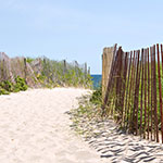
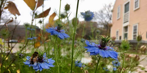
Find directions for gorgeous scenic drives along coastline and through woods and forests, for year round and especially for fall foliage season. Be sure to visit Rhode Island's scenic drives, foliage drives, scenic highways, National Scenic Byways.

304 Great Island Road Narragansett, RI, 02882 Phone: 401-783-7996 Toll-Free: 866-783-7996
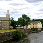
Coastal views are amazing when you drive around Block Island, Newport, or Narragansett, RI

Tours offered in Providence & Newport Providence/Newport, RI, 02840 Phone: 401-684-1110
Rhode Island Red Food Tours blends sightseeing with culinary travel for an unforgettable experience.
inland route from East Greenwich to Charlestown beaches East Greenwich, Exeter, Carolina, Kingston, RI Phone:


East Shore Road and North Main Road Jamestown, RI Phone:
Route 112 to Route 2 Richmond to Charlestown, RI Phone:
Length: 2 miles

Along the shoreline Newport, RI, 02840 Phone:
Length: 10 miles